Google has announced that their popular navigation service, Google Maps, now offers street view images of some of the world’s tallest and most popular mountains, including Aconcagua (South America), Kilimanjaro (Africa), and the Everest Base Camp (Asia).
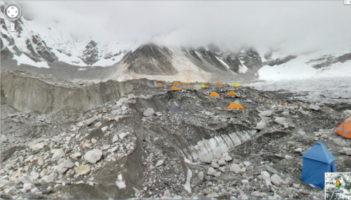
The image above is taken from Mount Everest’s base camp, with the snow-capped Himalayan mountain peaks, clouds, and the Khumbu glacier serving as backdrop.

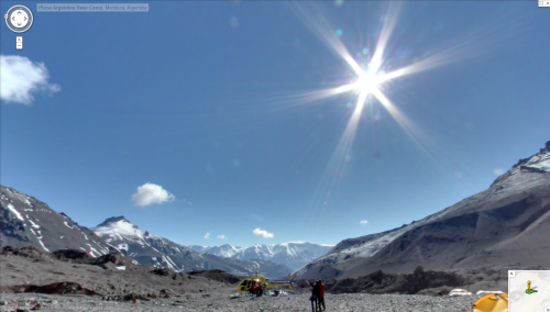
The image here is Aconcagua, the highest peak in both the Western and Southern hemispheres. A base camp is set up among the exposed rock in an area referred to as “Plaza Argentina”, which includes a permanent park ranger camp, helipad, and medical center.

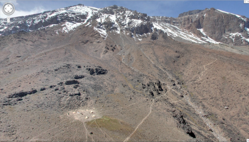
Finally, the image here is Mount Kilimanjaro, located in Tanzania. The mountain is actually a dormant volcano and is also referred to as the “Roof of Africa.” Despite being a mere three degrees south of the equator, the peak is high enough to still be covered in snow.
To explore the street view of these three mountain tops for yourself, click on the following links:
Story via googleblog.blogspot.com
Advertisement


