It’s the end of the summer and your brain could use a break. What better way to kill a few minutes then by staring at some beautiful images of our planet as captured by the world’s foremost leader in 3D mapping, Google Earth.
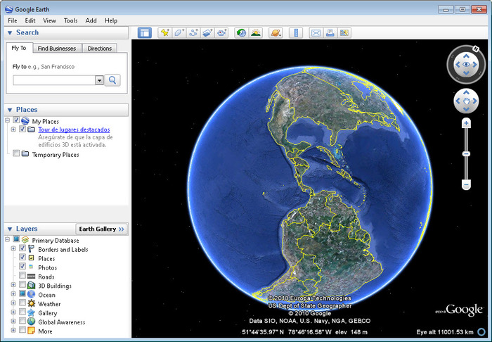
For those unfamiliar with the product, or for others who maybe associate the technology with Google’s other property, Google Maps, Google Earth is, more or less, a digital globe, complete with map and geographic information, which provides the user with superimposition images gathered vis-à-vis satellite imagery, aerial photography, and geographic information system 3D globe.
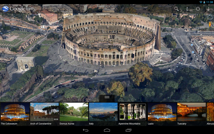
Two versions of the program are available: Google Earth is free to download and works on both PCs as well as mobile devices. Google Earth Pro costs $399 for a year of the service and is primarily intended for commercial use.
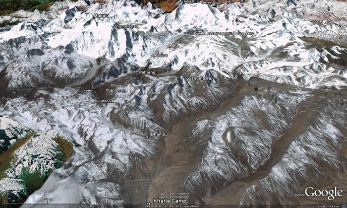
What separates Google Earth from other aerial imagery services is the technology behind the program. You see, Google Earth uses digital elevation model data from NASA’s Shuttle Radar Topography Mission. Impressive that NASA’s on board with the program? Absolutely. But what this means is that Google Earth can use this data to present images of the entire Earth in three dimensions. From the roof of your home to the top of Mount Everest, everything on this green planet can be seen in 3D.
In October 2011, Google Earth officially surpassed the 1 billion download benchmark. The property’s blog posted this interesting quote to celebrate the achievement:
One billion minutes ago, the Roman Empire was flourishing. If you traveled from Earth to the Moon three times, your journey would measure one billion meters. Today, we've reached our own one billion mark: Google Earth has been downloaded more than one billion times since it was first introduced in 2005.
So that’s Google Earth in a nutshell. Below are 15 of the more interesting images its captured over the last few years, including the coordinates should you wish to view them yourself. Enjoy!
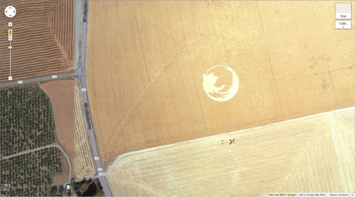
45,000 square foot Firefox logo made in a Dayton, Oregon cornfield by Oregon State University Linux users in honor of Firefox’s 50 millionth download
45° 7’25.87″N 123° 6’48.97″W
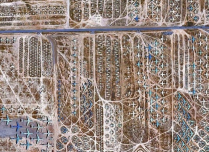
Airplane Boneyard where old military airplanes go to die in Tucson, Arizona
32 08’59.96″ N, 110 50’09.03″W
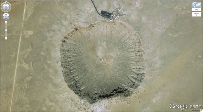
Amazingly massive Barringer Meteor, which sits in Winslow, Arizona
35°01'37.87″ N 111°01'20.60″ W
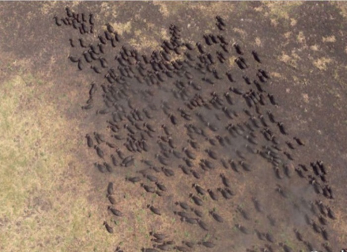
Buffalo Herd captured on the run in the Kigosi Game Reserve, Tanzania
4°17’21.49″ S 31°23’46.46″ E
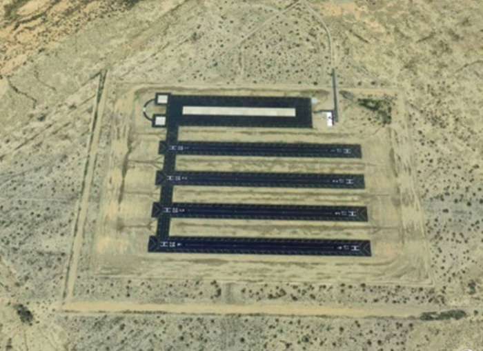
Five never used landing strips sit in the desert, just outside of Eloy, Arizona
32°39'48.12″ N 111°29'15.42″ W
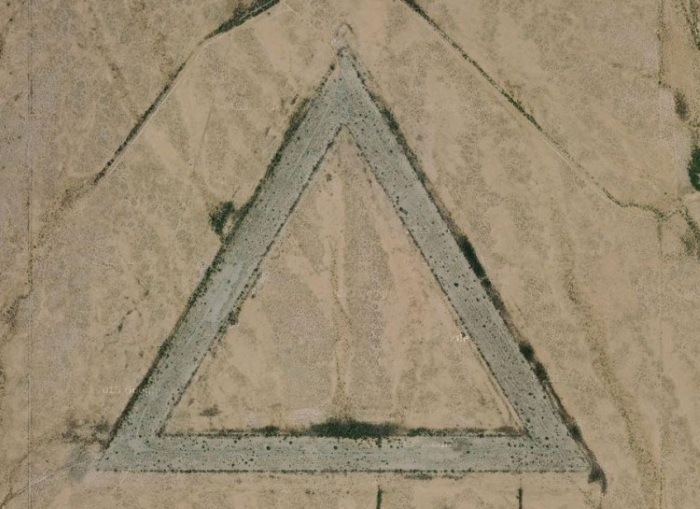
Giant triangular roadway with no way in or out sits in the middle of a field in Wittman, Arizona
33°44'50.11″ N 112°38'01.87″ W
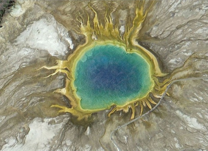
Grand Prismatic Spring in Yellowstone National Park, Wyoming
44°31'30.18″ N 110°50'17.48″ W
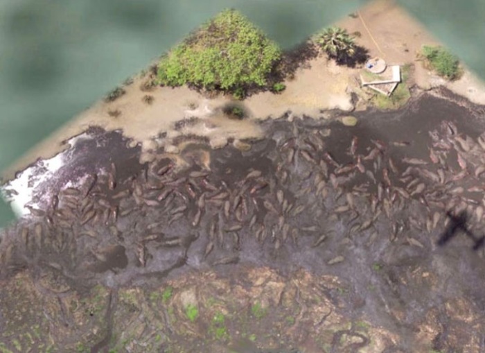
Hundreds of hippos bathing in the Tanzia’s Katavia National Park
6°53’53.00″ S 31°11’15.40″ E
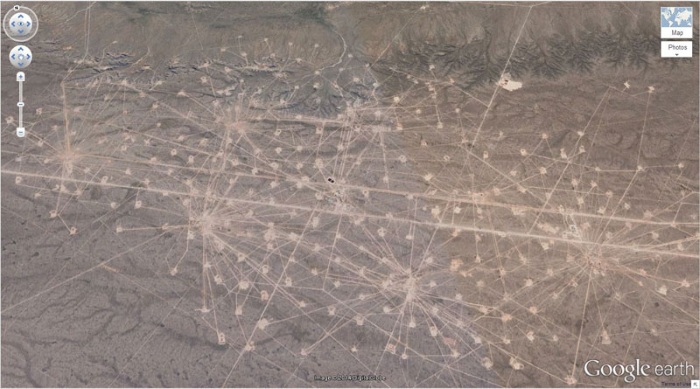
Oil fields of Rio Negro, Argentina
37°39’16.06″S 68°10’16.42″W
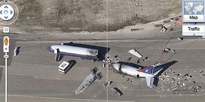
Plane crash (staged for NBC’s Trauma) at a Navy Base in Alameda Point, California
37°47'27.05″ N 122°19'21.65″ W
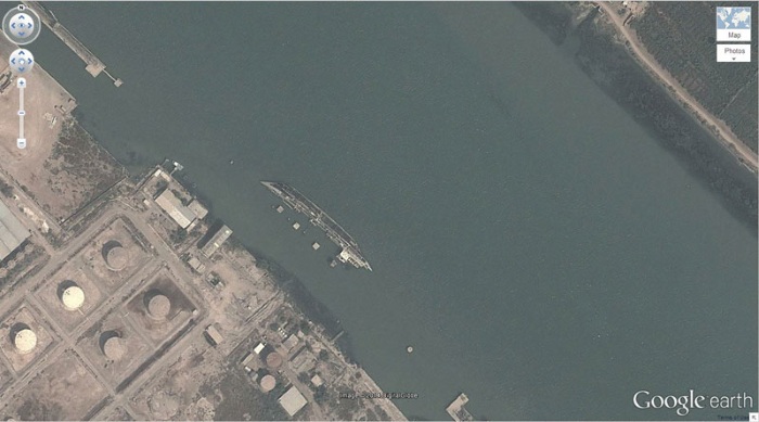
Shipwreck sitting in the waters of Basrah, Iraq
30°32'29.88″ N 47°49'31.60″ E
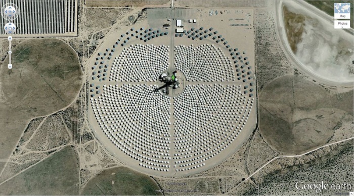
Solar field located in Daggett, California
34°52'18.40″ N 116°50'03.09″ W
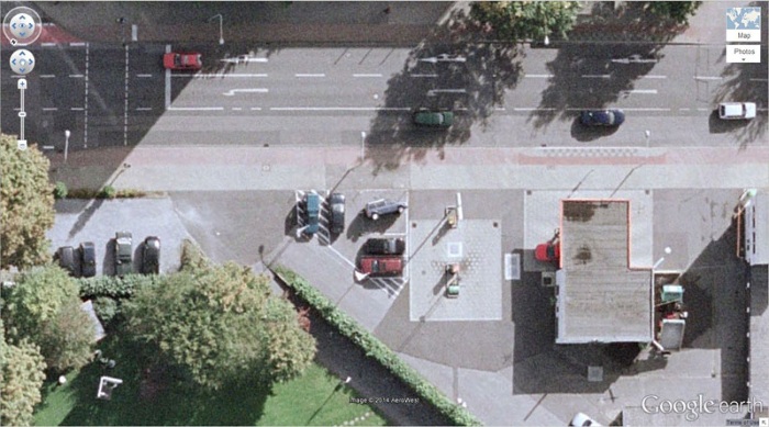
The unfortunate owner of this car likely had no idea his vehicle was sitting there flipped on its side in the parking lot when this image was captured in Krefeld, Germany
51°19’18.13″N, 6°34’35.64″E
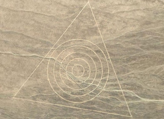
Triangle with five concentric circles inside; Nevada, USA
37°37'46.42″ N 116°50'58.40″ W
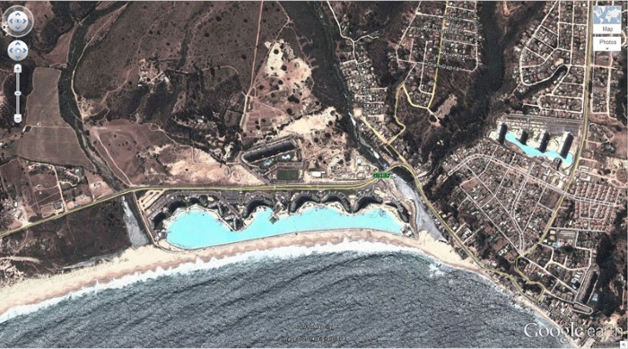
World’s biggest pool can be found in Algarrobo, Valparaíso, Chile
33°21'01.92″ S 71°39'11.76″ W
Advertisement
Learn more about Electronic Products Magazine


