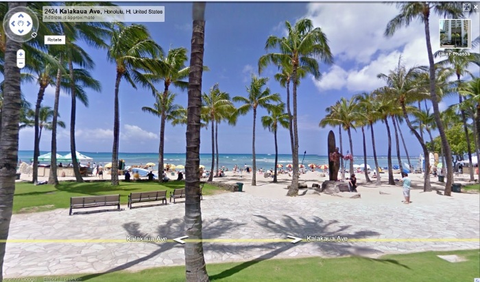
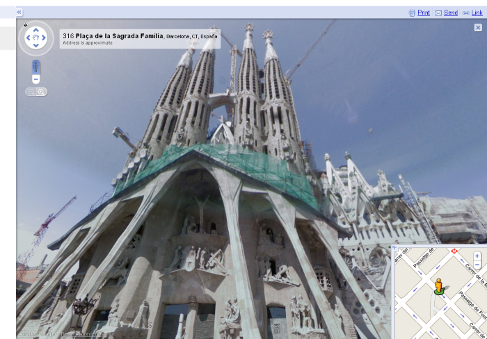
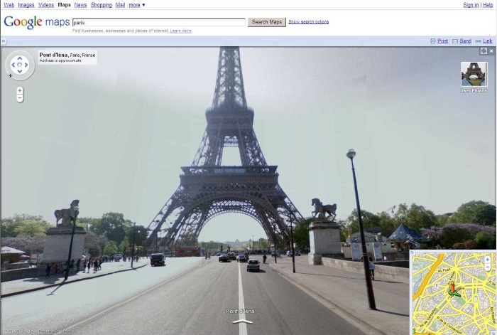
By now, we’re all familiar with Google’s Street View service — a ground-level viewing of local towns and streets, which is part of the company’s larger Google Maps and Google Earth products.
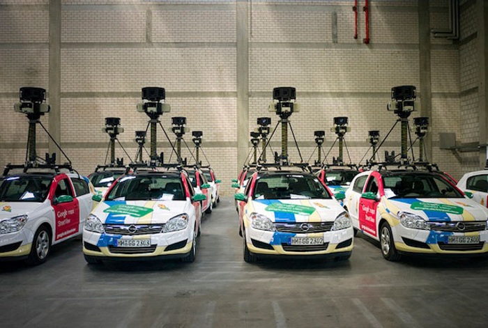
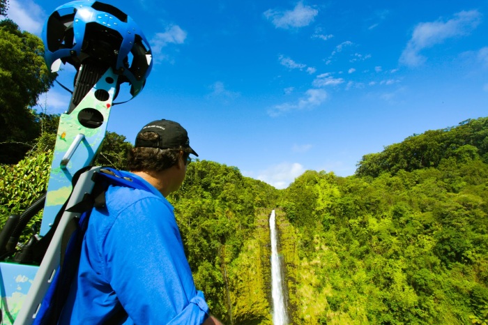
What’s probably not known is the extreme lengths the company goes to in order to capture these fantastically intimate images of neighborhoods around the world. The Trekker, as it is referred to, is the Google’s specially designed camera designed for the purpose of capturing high-quality 360-degree visuals.
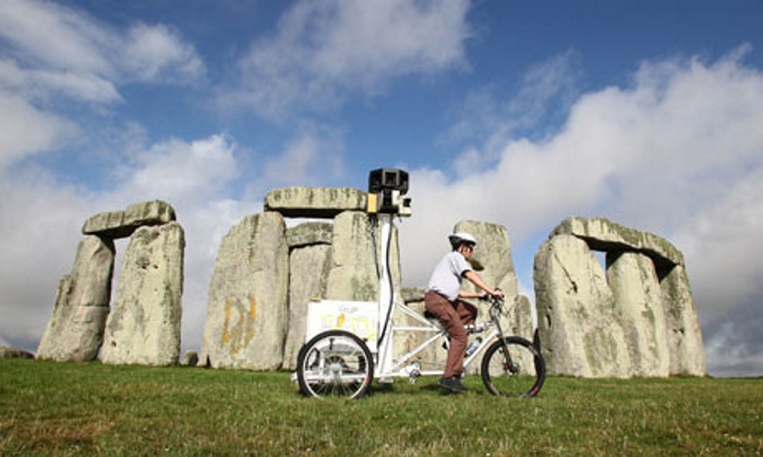
And while its normal home is atop a Google-sponsored vehicle, it’s also sat on other means of transportation, including bicycles, snowmobiles, and even within backpacks.
Most recently, the Trekker was found atop a camel.
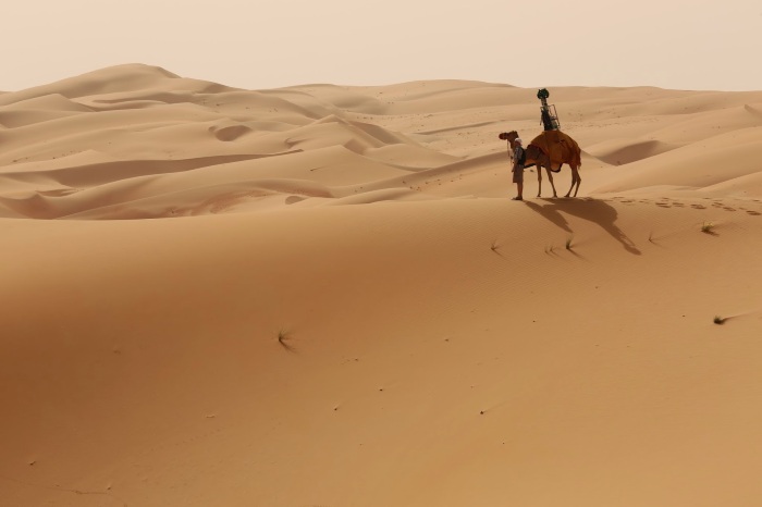
The reason? Google needed to record Street View imagery of the Liwa Desert in the United Arab Emirates.
The reason why they went with a camel and not, say, a quad or buggy vehicle? The company wanted to make sure that their efforts in this natural environment caused as little disruption as possible.
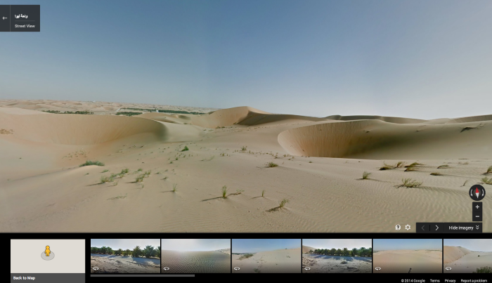
It’s certainly an interesting approach to an already groundbreaking technology service. If you want to see the results of Google’s and the camel’s efforts, you can see the imagery here. It includes massive sand dunes and the largest oasis in the Arabian Peninsula as well.
If you want to see a behind-the-scenes look at how the images were produced, check out the short clip below:
Via Google
Advertisement
Learn more about Electronic Products Magazine


