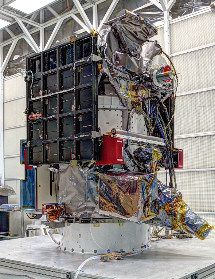
Outfitted with specially designed NASA instruments, the National Oceanic and Atmospheric Administration’s (NOAA) Deep Space Climate Observatory (DSCOVR — pictured below), will be the first satellite to ever capture an image of our planet in a single shot.
The technology making this possible is NASA’s Earth Polychromatic Imaging Camera (EPIC), which will also provide the Earth-based team with important atmospheric data.
Presently, scientists have to piece together images from satellites in orbit in order to get an entire view of Earth.

What DSCOVR and EPIC will do instead is orbit the first Sun-Earth Lagrange point (L1), which is located approximately 1 million miles from Earth. At this location, which for those who love trivial information, is about four times further than the orbit of the Moon, the gravitational pull of the sun and Earth cancel one another out; this, in turn, provides DSCOVR with a more stable orbit pattern, thereby permitting it the opportunity to take this unprecedented photograph while recording valuable information about our planet.
“Unlike personal cameras, EPIC will take images in 10 very narrow wavelength ranges,” said Adam Szabo, DSCOVR project scientist at NASA's Goddard Space Flight Center, Greenbelt, Maryland. “Combining these different wavelength images allows the determination of physical quantities like ozone, aerosols, dust and volcanic ash, cloud height, or vegetation cover. These results will be distributed as different publicly available data products allowing their combination with results from other missions.”
EPIC was built by Lockheed Martin’s Advanced Technology Center. In terms of specs, it has a 30cm telescope capable of measuring in the ultraviolet and visible areas of the spectrum. Images captured by EPIC will have a resolutions between 15.5 and 21.7 miles.
“EPIC has had to wait a few years to go up, but it is still an instrument of considerable capability that we are anxious to see deliver unique Earth science data,” said Joe Mobilia, EPIC program manager at Lockheed Martin. “Its full disk images taken in 10 different wavelengths will supply unprecedented observations helping to provide global insights into Earth's weather and climate, data which complements NASA and NOAA's larger missions.”
Beyond capture climate data and an amazing view of our planet, NOAA’s DSCOVR will also provide forecasters with more reliable measurements of solar wind speed, density, and temperature. Such information will allow experts to better monitor harmful solar activity; it will also allow them to finally replace an aging research satellite currently being used to warn of impacts on Earth.
As for the business end of this launch, it’s worth noting that the DSCOVR mission is a partnership between NOAA, NASA, and the U.S. Air Force. When the observatory is launched (scheduled for this month), NOAA will be in charge of its operations, and will do so out of its Satellite Operations Facility. It will process all data at the space Weather Prediction Center for distribution to users around the world. All data recorded will be archived at NOAA’S National Geophysical Data Center.
NASA received funding from NOAA to refurbish the DSCOVR spacecraft and its solar wind instruments.
The Air Force funds and oversees the launch services for DSCOVR and hosts NASA-funded secondary sensors for Earth and space science observatories. Data recorded will be processed at NASA’s DSCOVR Science Operations Center and archived / distributed by NASA’s Atmospheric Science Data Center.
For more information on this program, visit nesdis.noaa.gov/DSCOVR
Advertisement
Learn more about Electronic Products Magazine