Based on some pretty startling data that shows a significant increase in railroad crossing fatalities, the Federal Railroad Administration has partnered with Google to provide the locations of all train crossings in the tech giant’s popular mapping app, Gmaps.
Information will be drawn from the United States Department of Transportation’s enormous database and used to locate every grade crossing in the United States. Google will also add audio and visual alerts to the app for when drivers are using the app’s turn-by-turn navigation feature.
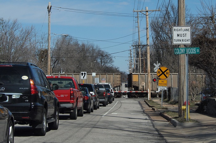
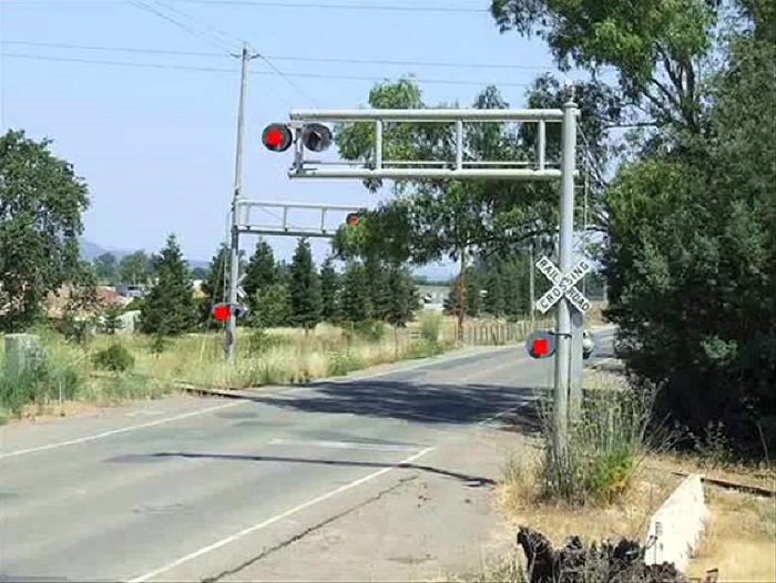
Accidents generally occur due to driver inattention and error. In most cases, there are no gates or blinking lights to warn drivers of an oncoming train—just a crossing sign or crossbuck.
In terms of numbers, there are approximately 130,000 public and 85,000 private grade (or level) crossings throughout the country. As far as the number of accidents that occur at these locations, that number decreased more than 80% to about 2,000 / year in recent years; way down from about 12,000 / year in the 1970s.
But last year, the number of accidents rose by nearly 10%. This includes 270 highway-rail deaths, up from 232 the previous year, and 843 injuries. There were 533 grade-crossing deaths last year, a result of trespassing accidents.
The agency cannot figure out why there was such a drastic increase in rail crossing-related accidents last year. One suggestion is the growing economy might’ve led to an increase in freight train traffic and also more people on the road. Another one is that today’s drivers are distracted by more “things” while in the car than ever before.
“The vast majority of these accidents and deaths are preventable,” said Sarah Feinberg, the Federal Railroad Administration’s acting administrator. “In some cases, maybe a driver intends to beat the train, thinks they are familiar with the route or still have time to cross. But there are many cases where drivers lack situational awareness, because it may be dark or the route is unfamiliar.”
An increase in accidents by that margin prompted the railroad agency to look for new solutions to curtailing (and ultimately stopping) this hazard; the conclusion they came to was to use technology. The reason being is that drivers are more so than ever before reliant on their smartphones for directions, and Google was the obvious partner because its downloadable mapping app is one of the most popular apps for both Android phones and iPhones.
“We’re happy to help the Federal Railroad Administration as we’re always looking for new ways to make maps useful to our users,” Mara Harris, a Google spokeswoman, said.
It is expected the partnership with Google will precede other announcements, as the agency said it also reached out to four other map makers, including Apple, MapQuest, TomTom, and Garmin, in hopes that they too would agree to include similar features in their apps.
Via New York Times
Advertisement
Learn more about Electronic Products Magazine