HopStop, the mass transit app acquired by Apple in 2013, will shut down in October 2015, two weeks after the company releases its iOS 9 with new built-in transit directions in Maps.

Whereas HopStop has public transit directions for 113 metropolitan U.S. cities, Apple Maps’ Transit will only cover public transportation for six U.S. cities: Baltimore, Chicago, New York City, Philadelphia, San Francisco, and Washington D.C. In addition to these six U.S. cities, Apple’s Maps will support transit directions for 300 Chinese cities.
HopStop launched in 2005 and was acquired by Apple in 2013, shortly after the poor feedback Maps received when it debuted with the iOS 6. Around the same time, Apple also acquired the transit app, Embark, and business data startup, Locationary, to help boost its own mapping and location services, attempting to surpass that of the superior Google Maps iOS app.

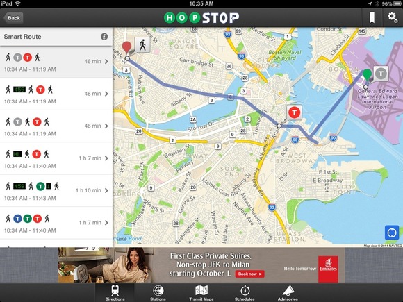
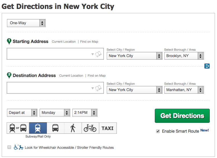
To use HopStop, you simply enter your starting address and where you are going, and the app would plot your carless journey, with your choice of transport options such as subways, buses, walking, biking, and taxi. HopStop even estimates how much a cab to your destination would cost, and allows you to select a combination of bus and subway routes to limit time spent walking, as well as look for wheelchair and stroller-accessible points of entry. Once out of the subway station, the app also gives you street directions on where to go.
By shutting down HopStop, Apple wants iPhone users to rely on native Maps to navigate around as opposed to a third-party product. This strategy is different from Google’s, which acquired Waze, incorporated its data into Google Maps, but still left Waze as a standalone app.
The transit update in iOS 9 marks a step for Apple and its Maps service to provide core functionality from the smartphone rather than relying on third-party apps. However, the transit feature is new to iOS 9, and shutting down HopStop so soon after the new OS releases may cause a gap in reliability on mobile devices for carless directions.
Apple may plan to bring transit directions to more U.S. cities soon, as Google Maps first launched services in over 100 cities around the world, and now has public transportation directions in over 18,000 cities.
Via Macworld
Advertisement
Learn more about Electronic Products Magazine


