Did you know that Australia moves north by about 7 centimeters each year due to tectonic motion? Its move north is entirely normal and not to be of major concern — what is a problem is the nation’s mapping system.
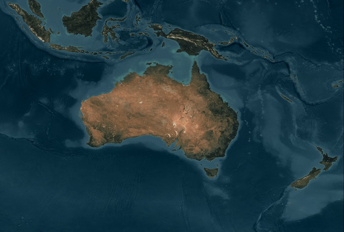
You see, the country’s local coordinates, which are used to produce maps and measurements, differ from coordinates provided by global navigation satellite systems.
How much, you ask? Believe it or not, it’s by more than one meter.
To address the matter, Australia will formally shift its local longitude and latitude lines to address this gap. The reason why they’re doing this is modern satellite systems provide location data based on longitude and latitude lines that do not move, even if the Earth’s continents shift.
“We have to adjust our lines of latitude and longitude . . . so that the satellite navigation systems that we all use on our smartphones these days can align with all the digital map information,” explained Dan Jaksa of Geoscience Australia.
Several counties produce maps and measurements with longitude and latitude lines fixed to their local continent. But due to the movement of the Earth’s tectonic plates, these local markings wind up driving apart from the Earth’s global coordinates over time. This is a problem not only for travelers using GPS technology, but the future of other technologies; specifically, driverless vehicles.
“If you want to start using driverless cars, accurate map information is fundamental,” said Mr. Jaksa. “We have tractors in Australia starting to go around farms without a driver, and if the information about the farm doesn't line up with the co-ordinates coming out of the navigation system there will be problems.”
The country’s local coordinate system, the Geocentric Datum of Australia, was last updated in 1994. Since then, Australia’s moved about 1.5 meters north.
It will receive its next update on January 1, 2017, at which point the country’s local coordinates will be shifted further north by 1.8 meters. The over-correction means Earth’s global coordinates and Australia’s local coordinates will align in 2020. At that point, a new system — which can take changes over time into account — is expected to be ready and implemented.
“We used the old plate fixed system to make life simple, but we don't want to do this adjustment every so often,” said Mr Jaksa. “Once we have a system that can deal with changes over time, then everybody in the world could be on that same system.”
Via BBC
Advertisement
Learn more about Electronic Products Magazine