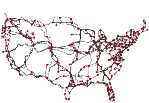
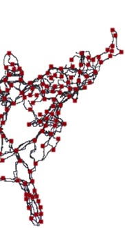
Paul Barford, a computer science professor at the University of Wisconsin, working with about a dozen colleagues, has completed a study that’s resulted in the first-ever publicly available mapping of the United States Internet cable infrastructure.

Beyond being the first to publish this material, Barford’s goal in creating the map was to fully understand the country’s fiber optic framework for the purpose of making the Internet more resilient to accidents, disasters, and attacks.

Upon initial glance, the map may not look like much; however, what it lacks in bells and whistles, it makes up in never-before-seen data. Details of these long-distance cable routes, which belong to telecommunications companies like AT&T and Level 3, have never been made available to the public despite the fact that they’re considered public infrastructure.
“Our intention is to help improve security by improving knowledge,” says Barford. “I think the map highlights that there are probably many opportunities to make the network more robust.”
Supporting Barford’s efforts is the Department of Homeland Security under a project called “Predict” which is meant to offer relevant Internet security data to government, private, and public researchers.
Having an understanding as to which locations host the most Internet cables will help efforts to understand the effects of things like natural disasters or intentional attacks on the Internet.
Barford and team were able to compile the data necessary for creating this map by researching the public records generated via the permitting process for laying cables. This includes documents held by county clerks and the like, which are responsible for recording the exact path of cables as they cross public and private land.
Barford explained that he is now in discussions with researchers and representatives at telecommunications companies about adding extra fiber links that would be shared by different companies. They’d be located at strategic points where new fiber feeds into densely populated areas, so as to improve the overall resilience and efficiency of Web service.
The final map was presented in a larger paper at the Sigcomm conference on computer networking in August. You can read it here.
Advertisement
Learn more about Electronic Products Magazine


