By Brian Santo, Contributing Writer
So far, the on-board resources in autonomous vehicles have proven to be sufficient for safe navigation without human intervention — most of the time. But autonomous vehicles do occasionally falter, and when they do, they tend to fail in ways that human drivers typically wouldn’t. A common factor in most self-driving failures — whether it’s something as trivial as a wrong turn or something as serious as a crash — is a lack of precise and current data.
That’s why even some of the most enthusiastic advocates for autonomous vehicles are backing the development of multiple means of supporting autonomous navigation. There’s a great deal of excitement about IoT and smart cities, but it’s going to be decades before the paved part of the world will be sensor-rich enough to properly support autonomous vehicles, despite traditional automotive manufacturers pushing to introduce autonomic driving in four or five years (newer car companies such as Tesla are already offering the capability).
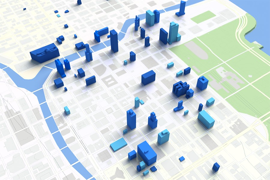
Image credit: Here.
That’s where advanced cartography comes in, according to mapping company Here. It’s a company worth listening to. Here is working closely with automotive suppliers Bosch and Daimler Benz on autonomous navigation issues and is even attracting attention from semiconductor companies working in the automotive space. Intel bought 15% of Here in January, a move that the industry considered more shocking than Intel’s huge splash with its announcement earlier this month that it intends to buy Mobileye, which makes sensors and cameras for self-driving vehicles.
The core of Here’s message is that autonomous navigation could be improved significantly if the vehicles were equipped with exceedingly accurate, updated maps. While on-board radar, lidar, and other sensing systems are adequate for seeing what’s directly within view, maps can help vehicles “see around the corner” to learn about road conditions such as construction that are beyond their current sensor view, as Here CEO, Edward Overbeek, put it in a recent blog .
But autonomous vehicles are going to require vastly more detailed map information than what people have become used to with their GPS systems. Fortunately, that precision information is being acquired.
Here, for example, has a fleet of sensor-studded vehicles all over the world currently measuring more than 30,000 street miles each week down to one-inch precision and up to a height of 130 feet, wrote Overbeek.
Precision alone isn’t enough, of course. The maps need to be current to include everything from temporary construction sites that close or merely constrict lanes to potholes and more.
That means constantly re-driving and remapping roads. Here has announced a technology relationship with Nvidia to blend its system with Nvidia’s cloud AI and provide real-time mapping updates automatically as cars move about.
Civil Maps, on the other hand, is solving that problem by essentially offloading it — the company is taking the crowd-sourcing approach. Automakers are going to have sensor-rich cars on the road; why not use that same data to update maps? Civil Maps contends that its method is the cheaper, easier way to go.
Advertisement
Learn more about Electronic Products Magazine